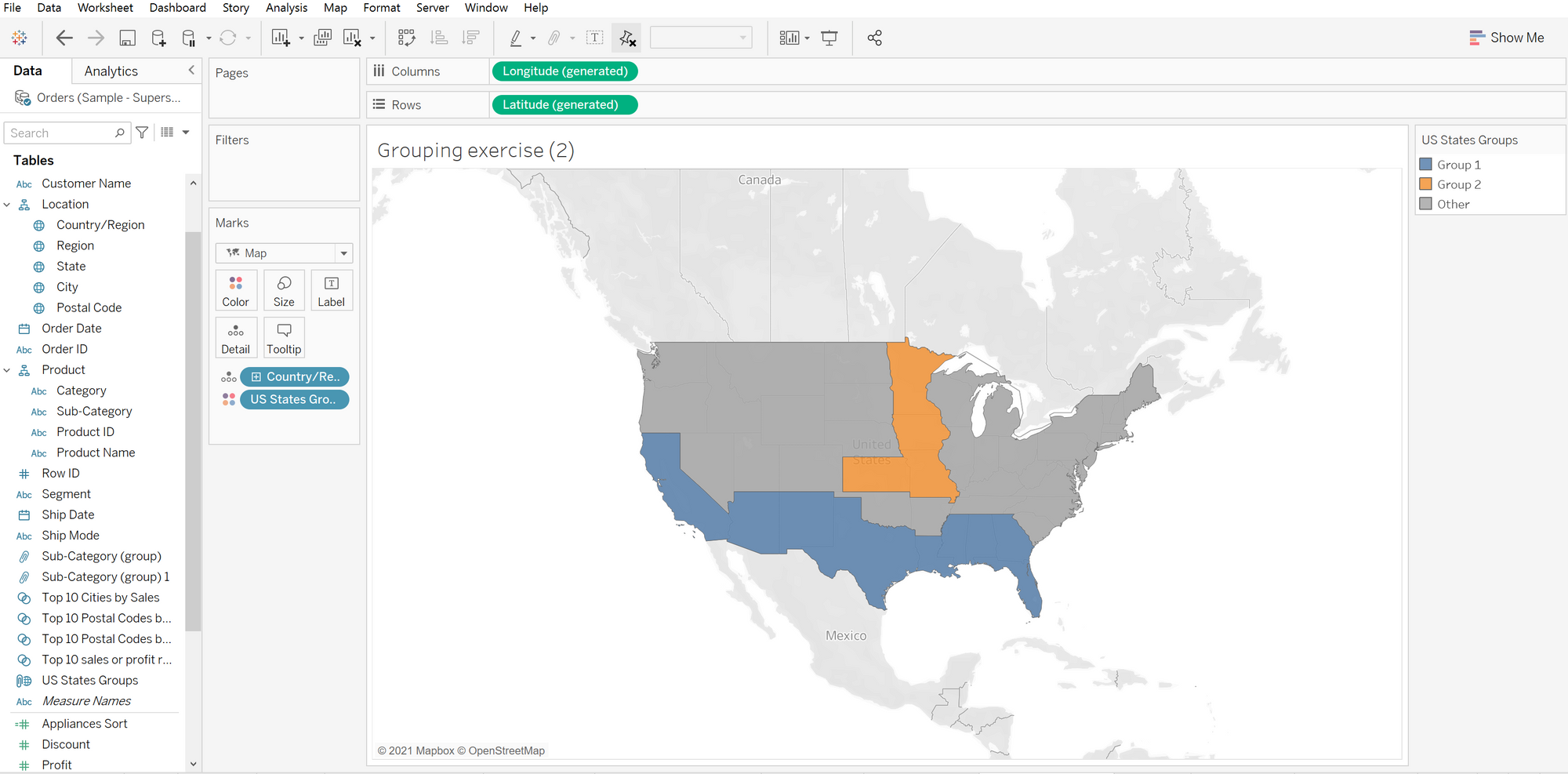
On day 1 of learning Tableau Desktop with the Data School I learnt how to group individual pieces of geographical data and visualize this on a map (previously I had only been able to use all, one or none of the locations provided in the dataset!).
Starting with the simple visualization below showing individual states of the US...

My first step was to choose the states I wanted to group together on the worksheet, selecting the paperclip option highlighted and then clicking 'All Dimensions'...

Which then creates a new group to the data pane - this can then be edited by right-clicking the group then selecting 'Edit Group'...

Here you can rename the group created as well as the field itself. More groups can be also be created in this window, for example I can add Kansas to a separate group like so...

After adding Minnesota, Iowa and Missouri to my new group ('Group 2'), I can then apply this to my visualization and see these two groups separately from the rest of the country. I have also removed the details showing each individual state to instead focus on the entire country by clicking the minus button on my 'Country/Region' mark.

It's that easy!
