


Poly-Build
The Poly-Build tool in Alteryx is used to join multiple spatial points, It can make a line, polygon or convex hull. A very useful tool when mapping out areas or analysing geographical routes.
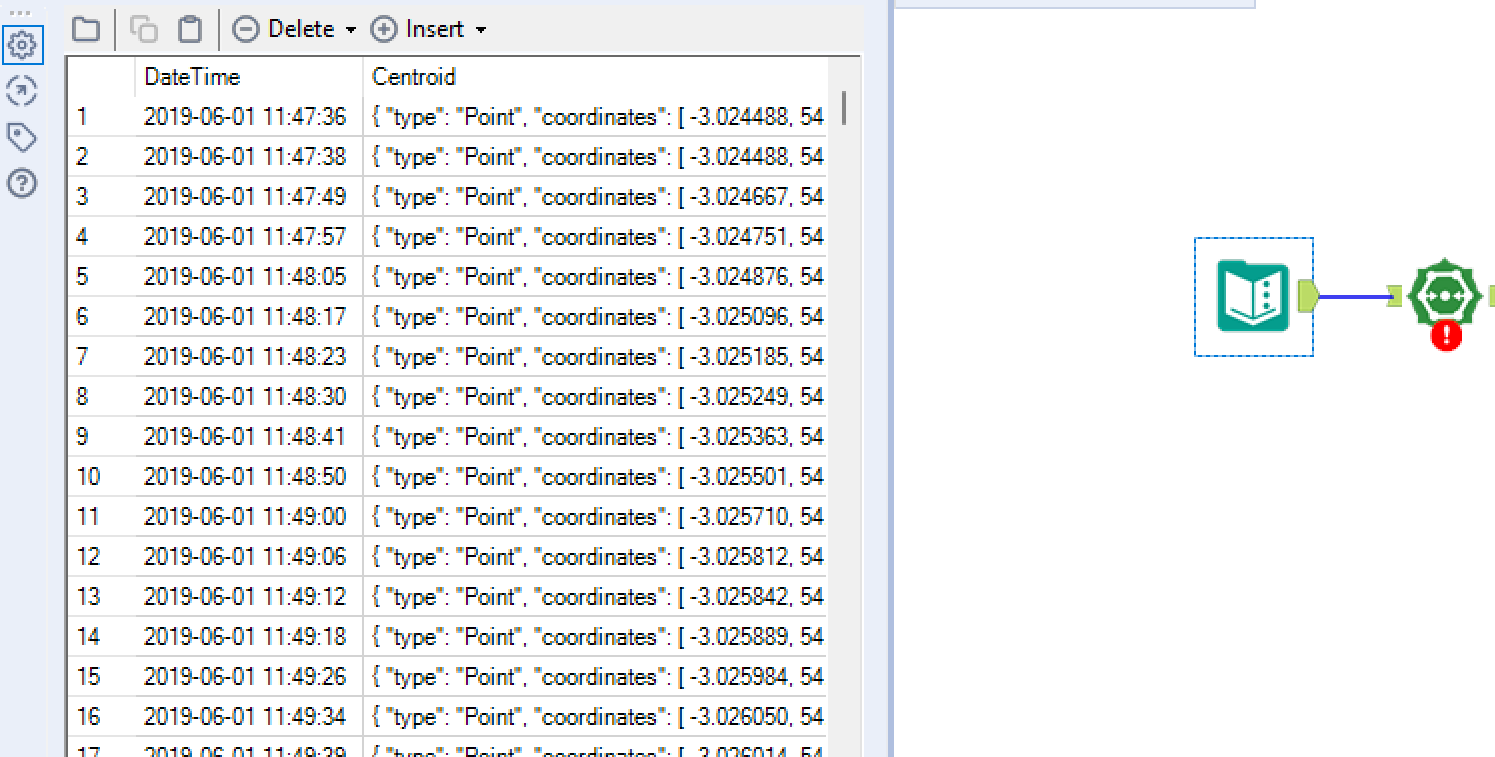
First, attach your field of spatial points to the Poly-Build input anchor:
Next, we need to configure the Poly-Build tool as shown:
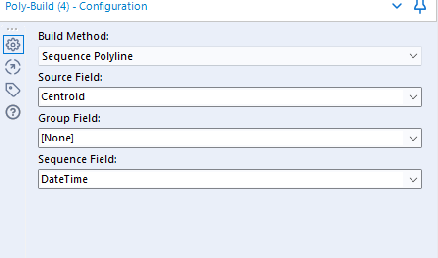
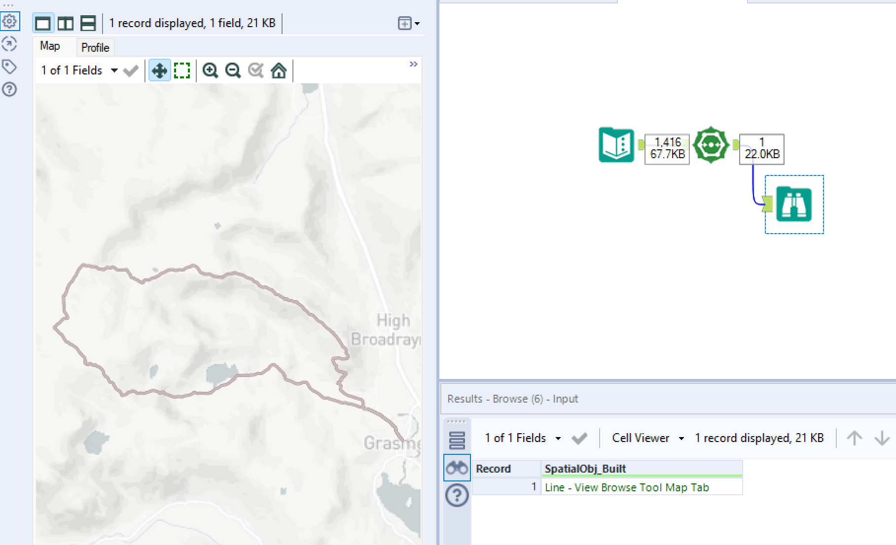
In this example we will be analysing a route made by one person. First select the build method, as we're looking at a route I have selected Sequence Polyline. Then assign the source field which contains your list spatial points. I have decided not to group by a particular field as this route (and every spatial point) is undertaken by an individual, If there were multiple parties then I would use this field to create multiple Polylines. Finally in the Sequence Field I selected DateTime, this will provide Alteryx with an order in which to join our spatial points. Adding a browse tool to the output anchor of our Poly-Build shows us the following results:
If you wish to practise your use of Poly-Build I suggest doing the Alteryx Community Challenge #6
Generalize
I've decided to add the Generalize tool onto this blog as it's a simple tool which is easy to show along side Poly-Build. The Generalize tool skips/ignores certain spatial points (nodes) to quite literally give a more general picture. The effect is similar to the smooth tool.

We will continue on from our example above by adding our output from our Poly-Build to the input anchor of Generalize, and then configure as shown:
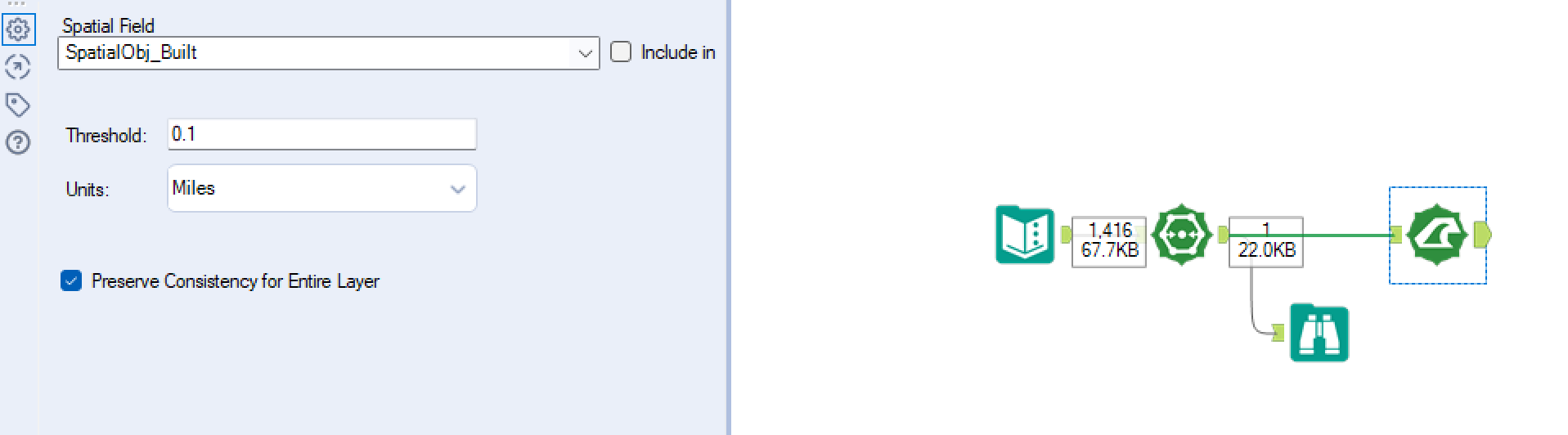
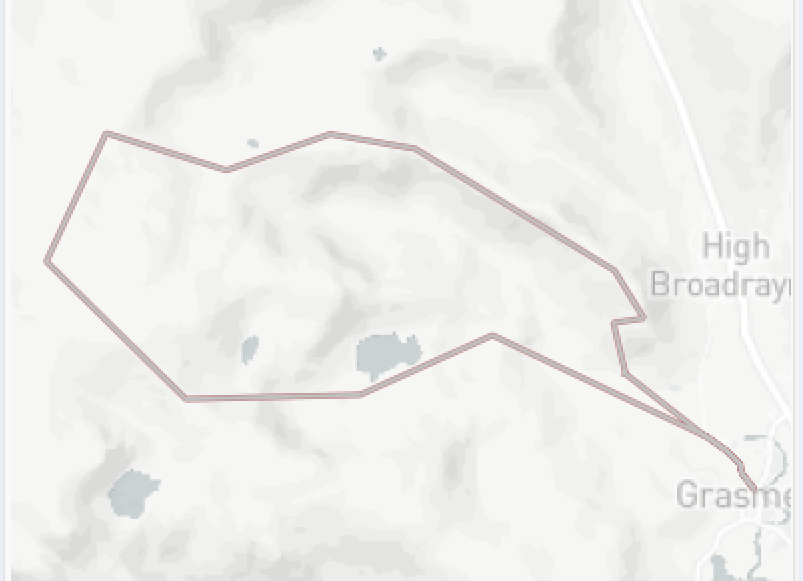
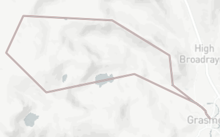
Firstly, select the correct field containing your spatial information. Next select the threshold and it's given units. Every spatial point from our original Poly-Build will be within X miles from our new Poly-Build line. X is determined via the threshold, increasing this will therefore increase how 'general' our new line will be. Below shows examples for first a threshold of 0.1 and then 0.3 (miles):
Preserve consistency for entire layer refers to when a given spatial point is used within multiple objects. By selecting this option it will ensure neither object is disrupted so there are no gaps/overlaps.