This is an excellent challenge for gaining hands-on experience with Alteryx's spatial tools.
Challenge #15: Warehouse Shipped Miles
Here is what the challenge requires.
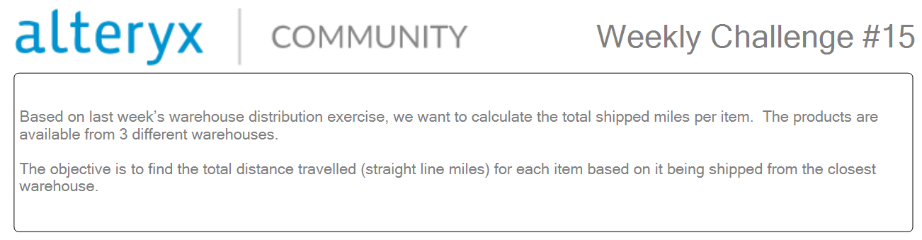
There are 3 datasets in this challenge
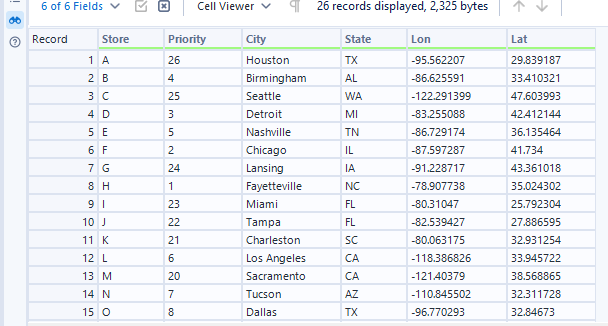
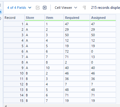
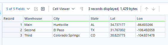
The final output should look like this
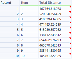
My approach
Understand the challenge requirement. Look at the input and final output and map out what tool is needed to complete the challenge.
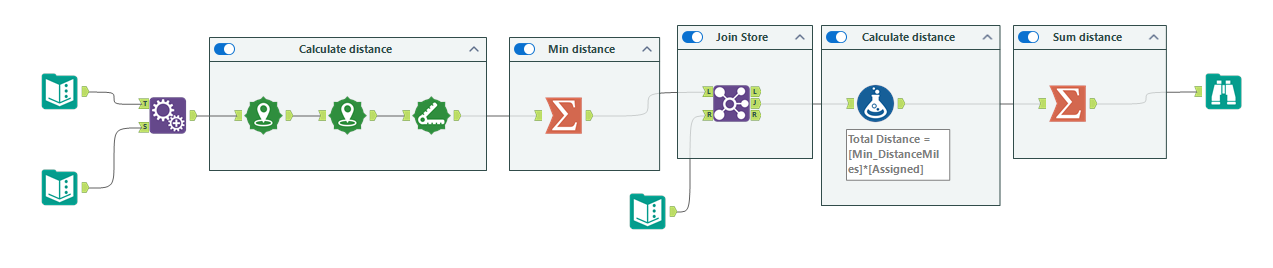
Tools I used for this challenge
- Append: Create every possible combination of rows from two dataset
- Create Points: Create specific coordiante point from logitude and latitude data
- Distance: Find distance from one point to another
- Summarize: Group by field and aggregate the value
- Fomula: Create or update column with specified calculation
The ALteryx workflow look like this: