


How it works:
Drive Time Selection lets you draw an isochrone polygon directly on a map that reflects how far you can realistically travel within a given time, based on actual road networks and traffic conditions.
Simply start by having location-based marks with longitude/latitude in columns/rows. For the example below, I used Superstore data and placed postcode on Detail.
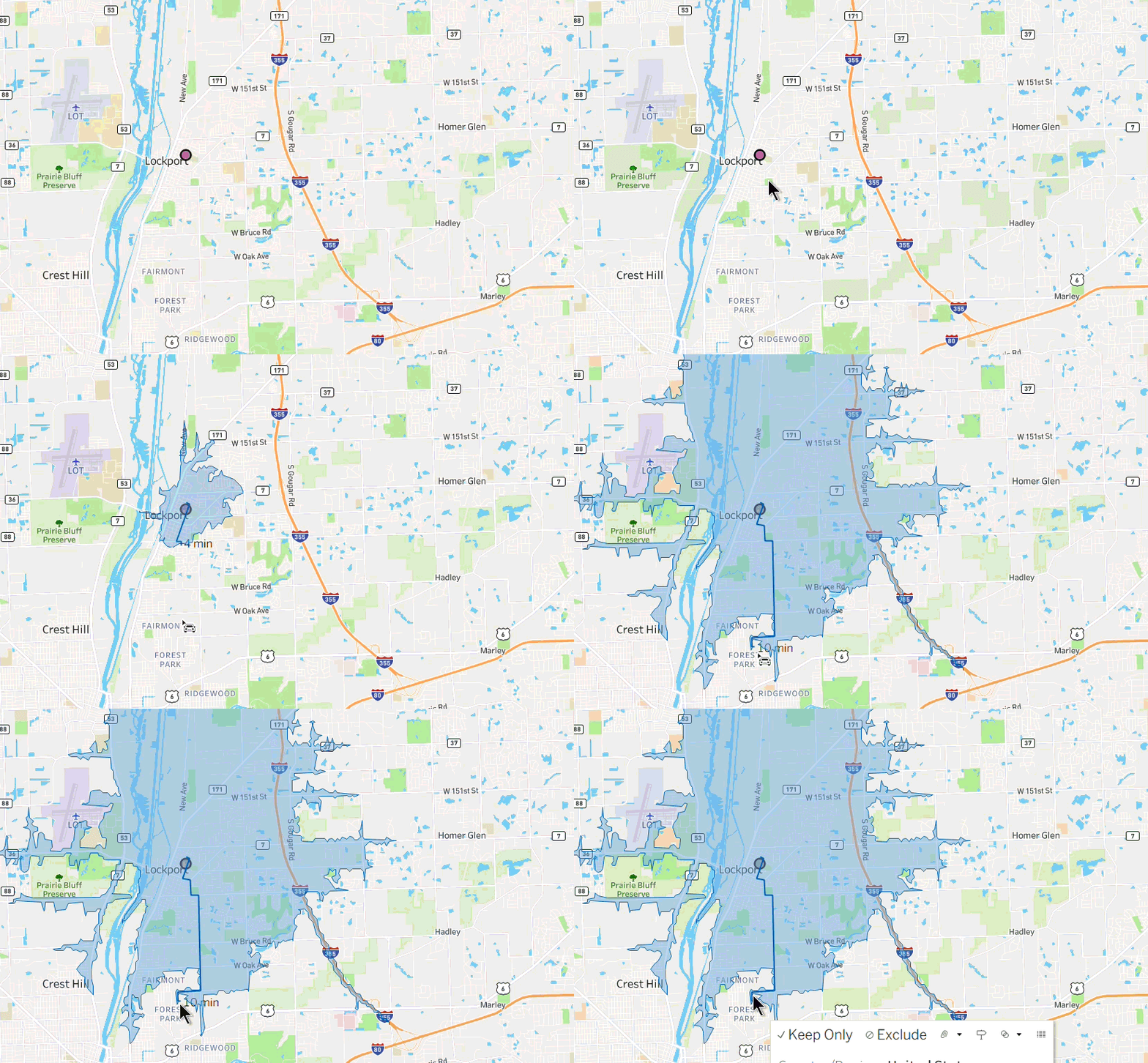
Setting up drive time and using it:
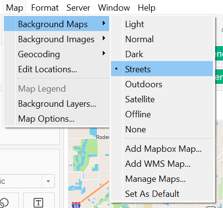
Personally, Street view makes the most sense, as it lets you identify whether the area actually has roads.
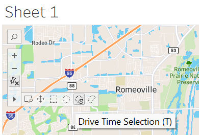
Then to activate the drive time tool, hover on the map interactivity on the top left of the map.
Some business use cases:
- Delivery zone planning: Identify areas of coverage for different distribution centres.
- Emergency response analysis: Did an emergency response reach its target in adequate time? Does a 30 minute drive time area cover enough of a population to justify placing a fire station there?
- Field agent optimisation: Assign field sales agents or technicians to areas based on realistic drive times.
- Store/site location selection: Identify how many competitors are within a certain drive time.
Key things to look out for:
- You need an internet connection.
- The tool works best with well-mapped road networks.
- Maximum drive time you can explore is 60 minutes.
- You need the latest version of Tableau downloaded (Tableau 2026.2).