I promise this won't slow down your internet speed
Trying to find an Alteryx spatial tool that hadn't been blogged by my colleague Robson was enough of a challenge in itself but we did it.

The Buffer tool can be used on any point, polygon or polyline spatial object and it adds a buffer area around the selected spatial object. You can opt to either expand or contract its extents by any value you choose. The buffer tool is a very similar to another Alteryx spatial tool: trade point. However, what sets it apart is its ability to create a buffer not only around points but also polygons and polylines.
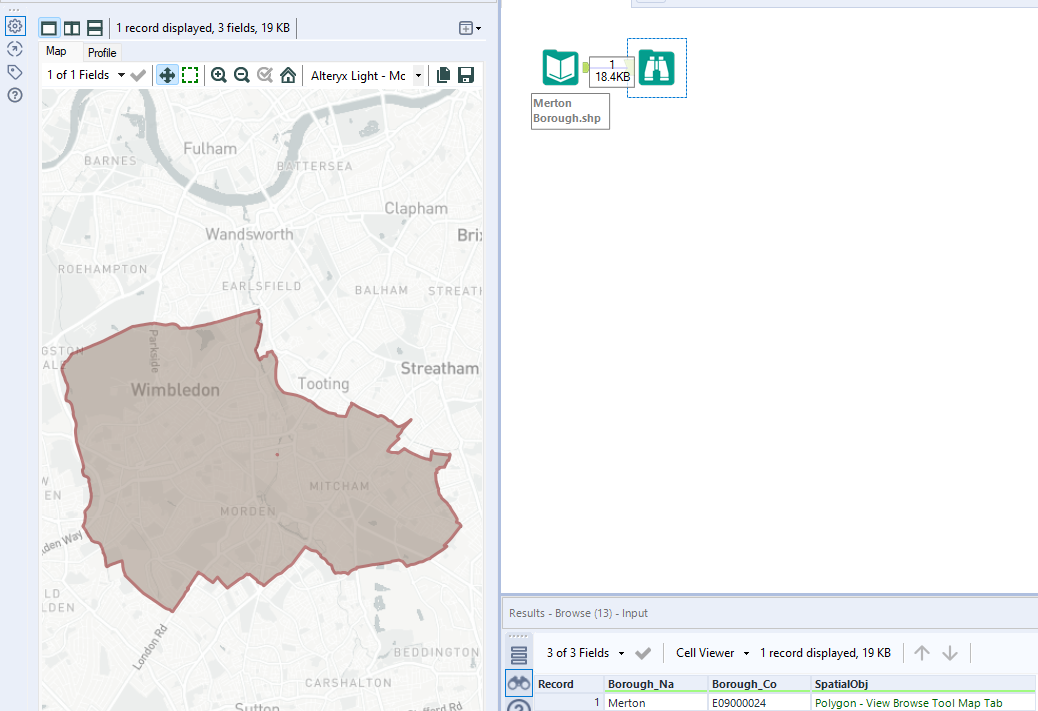
In this example we will look at applying the buffer tool to a polygon. In Alteryx we are using an input that has a polygon already created, the borough of Merton. Using a browse tool you can see a preview of this in the screenshot below:

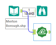
Under your Spatial ribbon, find the buffer tool and drag this into your workflow, connecting the anchor to your input data like so:

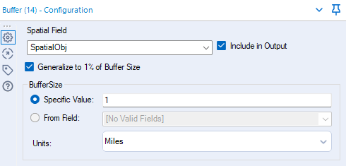
Now you need to draw your eyes to the configuration pane:

The 'SpatialObj' is the Spatial field selected since this is the column header containing your polygon. Everything I have selected is default apart from the Include in Output tick box, I find it useful seeing what your original polygon in your output so you can view where the buffer was added from.
Finally the buffer size, you can enter any value on what you want your desired buffer to be. In this case we can chosen 1 and have left the Units in Miles. If you enter a negative value then the buffer will be calculated inside the polygon.
When you are happy, add a browse tool onto the buffer tool and then run the workflow.
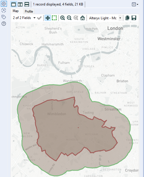
Your output should look something like this:

