


This blog with be covering some of the content you need to know in preparation for the tableau data analyst certification. I am going to be covering maps, section 2.7. Map data geographically.
1) Create Choropleth Maps (filled map)
Step 1- Drag and drop State/Province on the canvas
Step 2- Drag the field sales and drop it on the color part of the marks card.
2) Create Symbol Map
Step 1- Drag and drop State/Province on the canvas
Step 2- Drag the field sales and drop it on the size part of the marks card.
Step 3- Change the mark type from 'Automatic' to 'Shape'
Step 4- Choose the shape you want, here I have selected to filled circle.
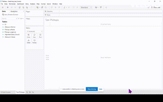
3) Create Heat/Density Map
Step 1- Drag and drop the field 'Longitude' to the Columns shelf and 'Latitude' to the Rows shelf
Step 2- Drag 'ID' to the 'Detail' shelf of the marks card, select 'Add all members' if it is an option.
Step 3- Change the marks card from 'Automatic' to 'Density'.
Step 4- Select the colour of your choice.
That is all the content for the 2.7. section of the Tableau exam.